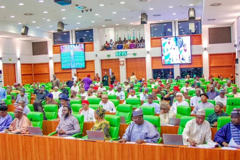




Nigeria and the Republic of Benin have strengthened efforts to improve Nigeria Benin border security through the deployment of geospatial technology aimed at enhancing surveillance, combating cross-border crimes and promoting legitimate trade between both countries. The renewed collaboration was showcased during a bilateral meeting held at the ECOWAS Conference Hall of the Seme-Krake Joint Border Post, one of West Africa’s busiest trade corridors.
The Nigeria Customs Service (NCS) and its Beninese counterpart agreed to expand cooperation by integrating geospatial technology into border management operations.
Officials said the initiative is expected to improve intelligence gathering, strengthen economic security and support more efficient monitoring of activities along the shared border. The partnership also seeks to facilitate lawful trade while reducing illegal activities that threaten commerce between the neighbouring countries.
Speaking during the meeting, the Customs Area Controller of the Seme Area Command, Comptroller Abdullahi Kaila, described the initiative as an important step toward modernising border management.
According to him, the adoption of geospatial technology will strengthen surveillance capabilities, improve operational efficiency and help security agencies respond more effectively to emerging threats along the border. He added that the technology would contribute to addressing smuggling and other forms of transnational crime while supporting safer and more efficient trade.
Also addressing participants, the Head of Geospatial at the Nigeria Customs Service, Deputy Comptroller Labaran Ahmed, explained that the project would pilot the Service’s border management application using the World Customs Organisation (WCO) satellite platform.
He said the technology would enable Customs officials to identify vulnerable sections of the border with greater accuracy and deploy personnel strategically to those locations. According to Ahmed, improved mapping and real-time intelligence are expected to make enforcement operations more targeted and productive.
Customs authorities from both countries believe the deployment of geospatial technology will strengthen cooperation in securing the border while creating a more favourable environment for legitimate cross-border commerce. The initiative forms part of broader regional efforts to modernise customs administration, improve border intelligence and promote safer trade within the ECOWAS sub-region through the use of digital technologies.